Adrena Standard – No cartography included

832,501 599,17 tx excl.

Unmatched on the market, Adrena Standard provides a useful tool for navigators aimed at route optimization and analysis for both inshore and offshore racing.

Clear

Description

Used by most ADRENA clients in IRC, FIGARO or IMOCA.

In addition to navigation functions, Adrena Standard calculates the best route for both inshore and offshore racing and enables you to hone your race strategy.

This package is the best configuration for navigators who are working across a range of different types of courses.

Routing calculation

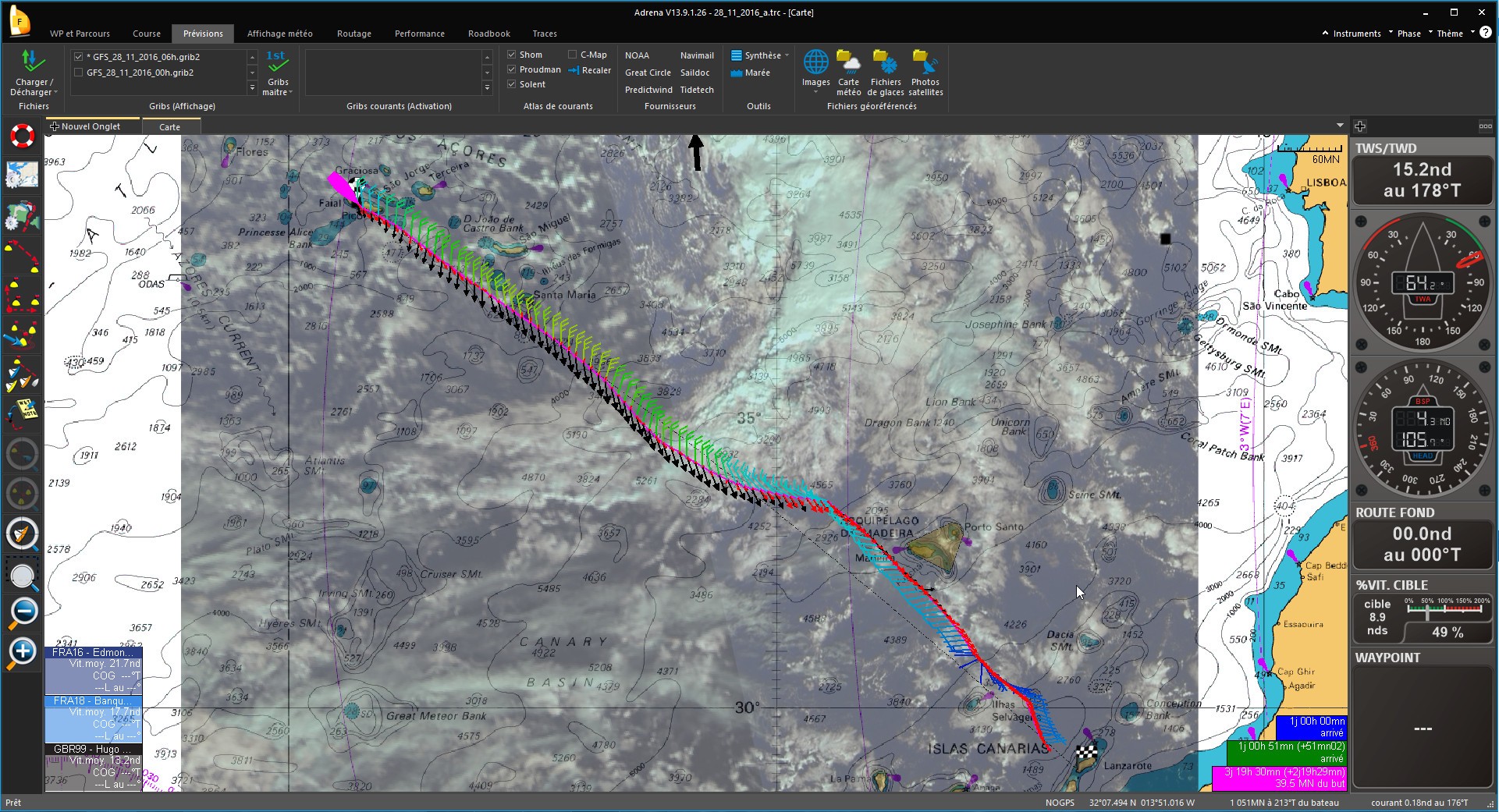
The route is calculated from the chosen parameters (start, finish, polars, wind, current and hazards) while automatically avoiding coastlines.

Routing profiles

Thanks to the scanning of variables (wind, polar, GRIB shift or departure), it is possible to launch several successive routings. It enables to check the influence of the variable and the reliability of the route plan.

Inverse isochrones

They allow to visualize the sensitivity of the ETA according to a route shift and also to plot the competitors’ time to arrival. Parallel inverse isochrones will indicate that a smooth heading modification will not influence the route duration.

IsoRoutes

They compare isochrones and inverse isochrones to color a corridor that enables to get to destination with a minimum delay regarding the optimal route. This delay can be set.


Additional information

PC Configuration

PC running under Windows 7 or 8 or 10 ('Ready for Windows')

Screen

1024X768 minimum

NMEA Connexion

NMEA 0183 connexion via port COM, USB or network

USB Slot

Dedicated USB slot for the dongle

DVD Drive

DVD drive for software and charts installation

Memory

Graphic memory : 256 Mo min

CPU

1,5 GHz mini / 2 GHz recommended

RAM Memory

2 Go mini / 6 Go recommended

Choose your version

,

Navigation

  • Touch screen mode
  • Calibration of instruments (log, compass and windvane)
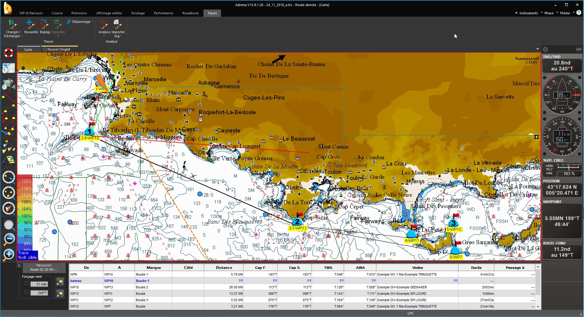
  • Waypoints and routes management
  • Global tide module
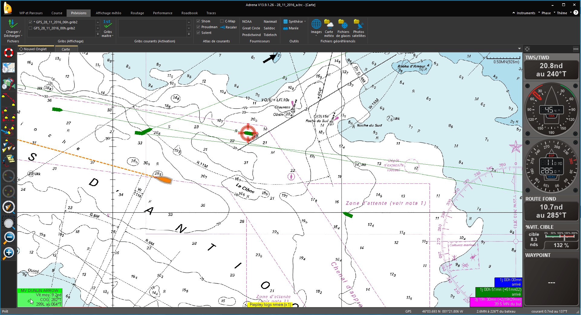
  • Electronic vector charts (C-Map MAX) or raster charts (SnMap, BSB)
  • Reading and display of GRIB files
  • Meteogram
  • UGRIB, Navimail, Predictwind, Tidetech and Great Circle direct interface
  • GRIB files download online and by email up to 16 days
  • Logbook (position, wind, speed and observations)
  • Tide charts: SHOM, Proudman and Winning Tides
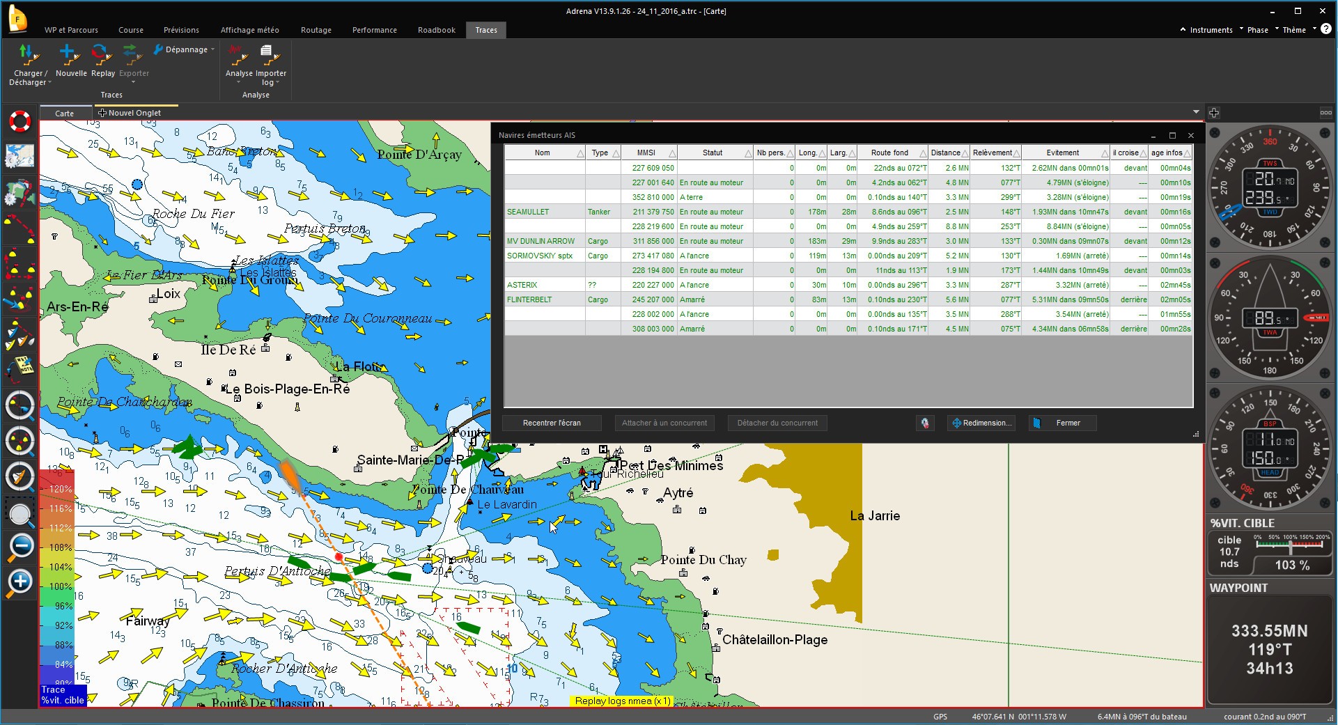
  • AIS Anti-collision system
  • Alarms (MOB, mooring, arrival on coasts, AIS…)
  • Custom alarms
  • Import/Export of GPX files (waypoints, courses and tracks)
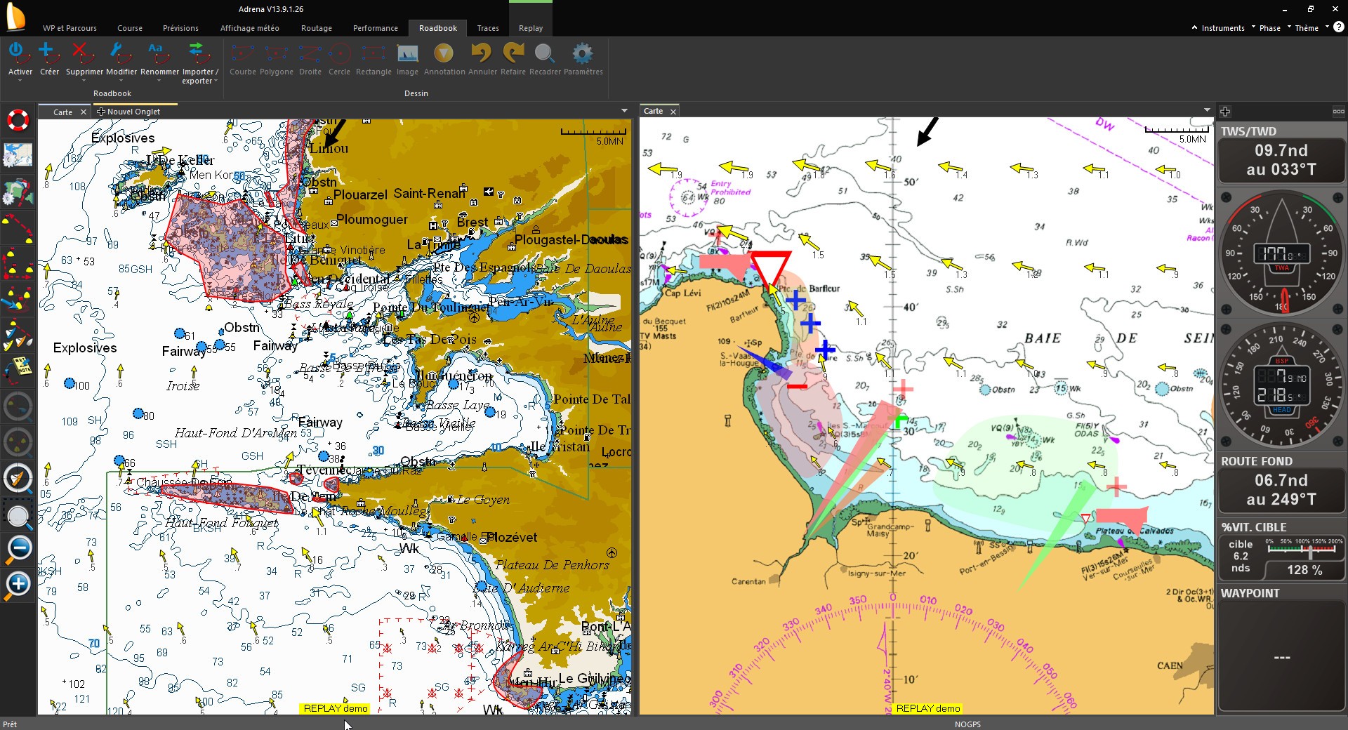
  • Roadbook with images overlay
  • Datagrams: data evolution along the route (current, sailect, …)

Regatta

  • Competitors monitoring
  • Calculation of recovered time IRC/HN
  • Management of the start, windward/leeward and coastal route
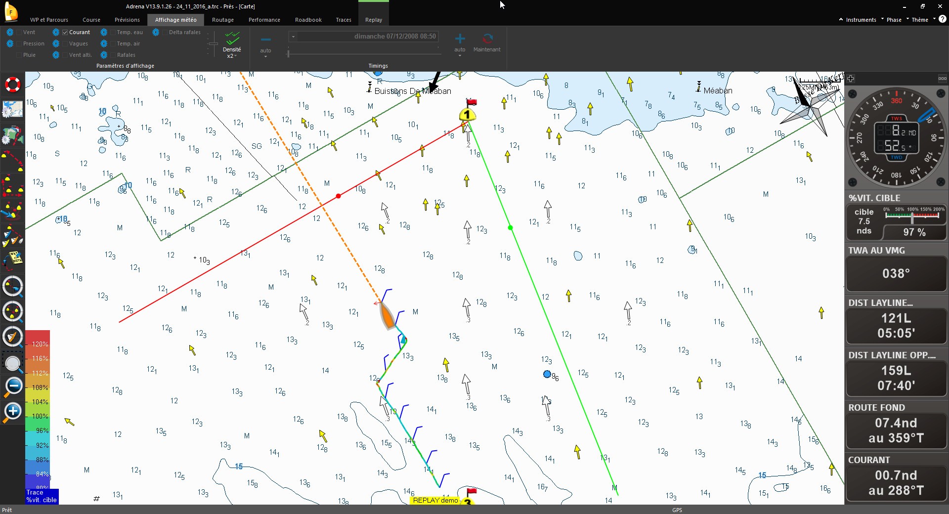
  • Laylines calculation and display
  • Current integration in laylines and time to the marks
  • Sending calculated data to iPhone or iPad
  • Safe Starting Area

Performance Analysis

  • Polars calculation from automatic recordings
  • VPP polar diagrams creation
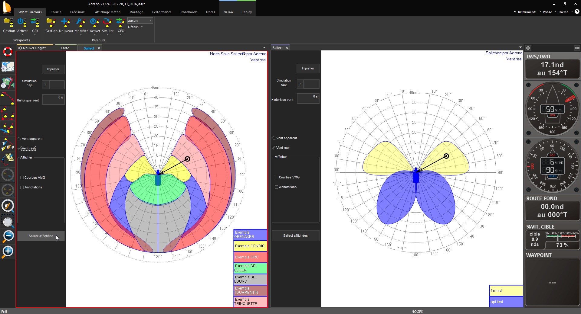
  • Import and reading of sails range charts (Sailect)
  • Performance analysis (VMG, target boatspeed…)
  • Graph of data history: histo-graph
  • Replay of recorded tracks
  • Calculation of optimum route while automatically avoiding coastlines
  • Routing in 2 clicks
  • Dual routing: sailing and motoring
  • Integration of the current into routing calculations
  • Routing of competitors
  • Safety: wind speed limit in routing
  • Summary table of the routing
  • Compulsory waypoint (pivot on isochrone)
  • Display of encountered conditions: wind, tide and waves
  • Routing calculation on a coastal route
  • Simulation of several routings
  • Save/undelete a routing
  • Use of several GRIB files to calculate routing
  • Routing hypothesis: scanning of variables
  • Risk/delay assessment: inverse isochrones and isoroutes
  • Statistics on routing: wind, sails
  • Differential coloring of the route based on criteria

Routing

  • Calculation of optimum route while automatically avoiding coastlines
  • Routing in 2 clicks
  • Dual routing: sailing and motoring
  • Integration of the current into routing calculations
  • Routing of competitors
  • Safety: wind speed limit in routing
  • Summary table of the routing
  • Compulsory waypoint (pivot on isochrone)
  • Display of encountered conditions: wind, tide and waves
  • Routing calculation on a coastal route
  • Simulation of several routings
  • Save/undelete a routing
  • Use of several GRIB files to calculate routing
  • Routing hypothesis: scanning of variables
  • Risk/delay assessment: inverse isochrones and isoroutes
  • Statistics on routing: wind, sails
  • Differential coloring of the route based on criteria

Table Function

Safety features at sea in Adrena

Adrena in training with Erwan Le Roux, on board M34 Courrier Dunkerque

The variables scan in Adrena's software by Roland Jourdain

Calculate speed polars with Adrena