Description
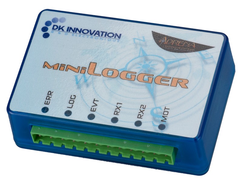
Thanks to the Mini Logger, a large number of performance and navigation data can be recorded (windspeed and wind angle, boat speed, heading …) and then analyzed on shore with the OFF version of Adrena Standard for polar calculation, route replay, debriefing and so on… This configuration also includes Routing function which enables to create detailed weather route plans in advance.
OFF version means that the licence is not directly connectable to the instruments.
Polars calculation
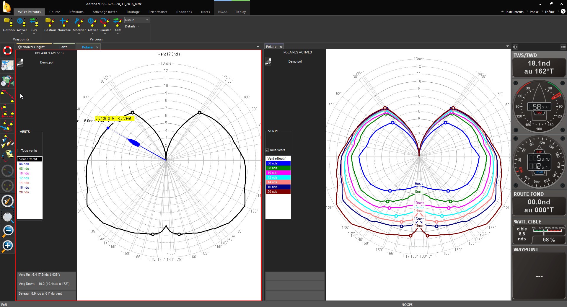
It records data and calculates the speed polars, whilst discarding unreliable values and filtering any anomalies that might skew the quality data. This creates a performance curve for the boat which is proven and reliable.
RoadBook
During the trip preparation, the navigator locates and annotates specific areas on the map thanks to the roadbook: tidal eddies, coastal effects… those areas can be enriched with images like synoptic winds or currents by overlaying them on the chart.
Replay, debriefing tool
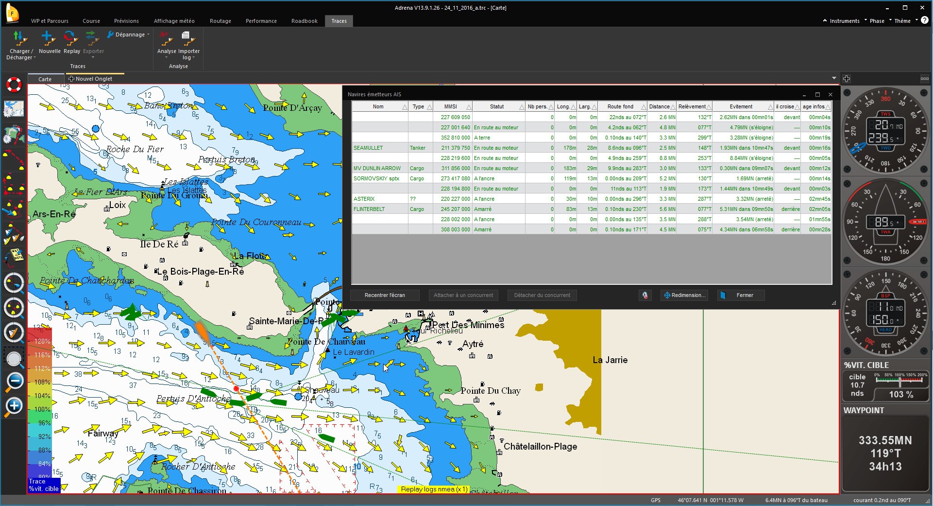
It is possible to replay a race in order to analyze the different phases, your tactical and strategic decisions as well as changes in weather conditions. All information (unit and GPS) and all calculations made by Adrena software are available.
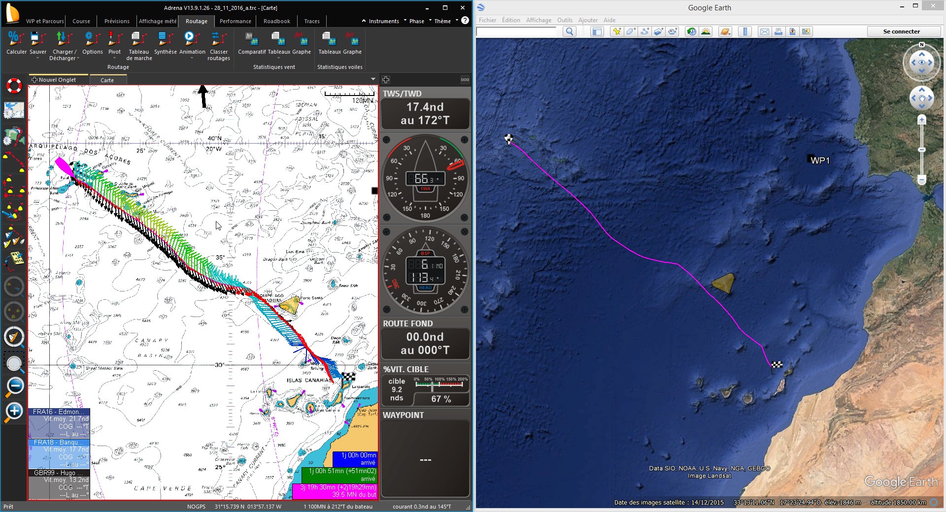
Routing calculation
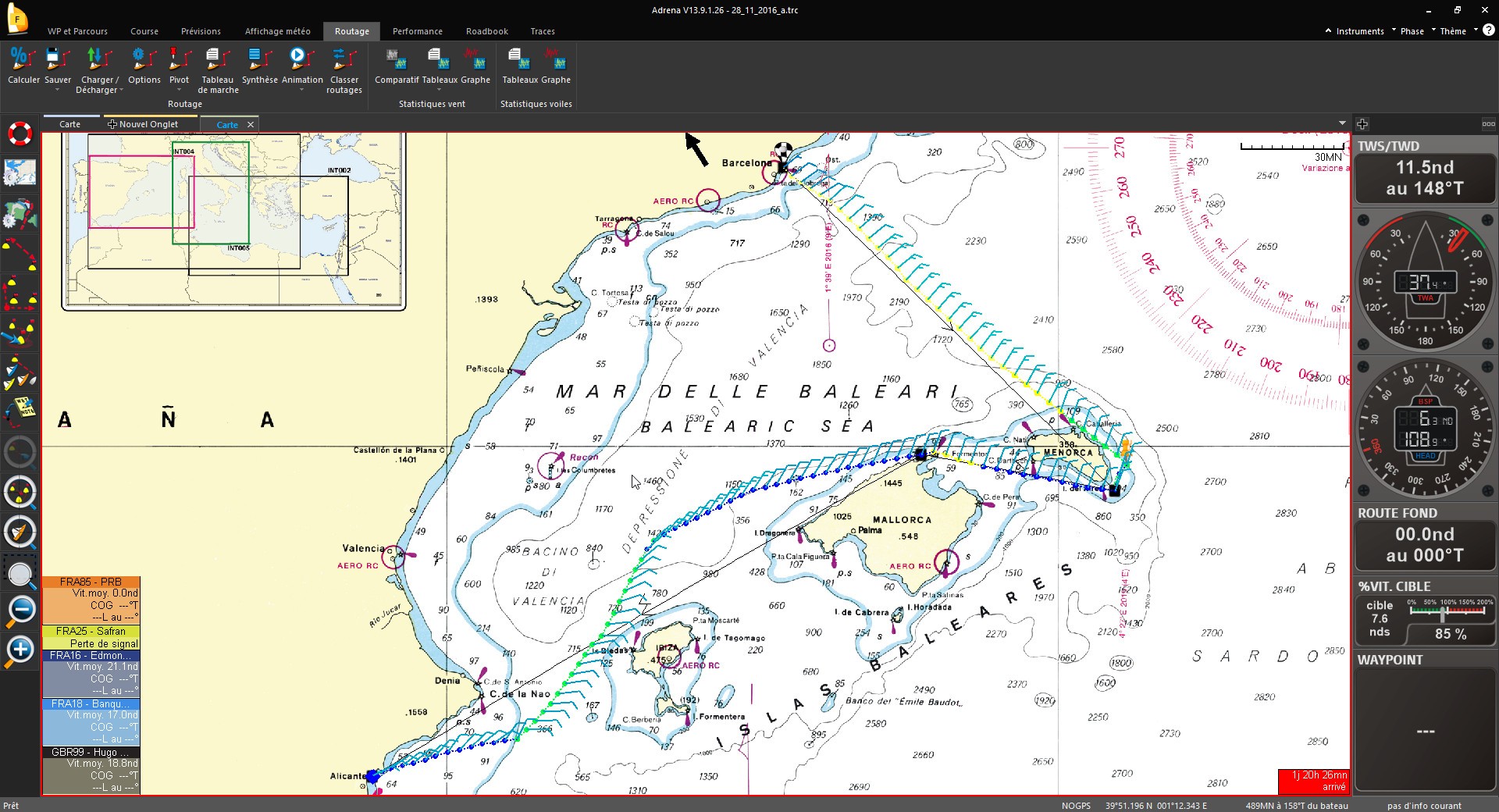
The route is calculated from the chosen parameters (start, finish, polars, wind, current and hazards) while automatically avoiding coastlines.
Routing profiles
Thanks to the scanning of variables (wind, polar, GRIB shift or departure), it is possible to launch several successive routings. It enables to check the influence of the variable and the reliability of the route plan.
Inverse isochrones
They allow to visualize the sensitivity of the ETA according to a route shift and also to plot the competitors’ time to arrival. Parallel inverse isochrones will indicate that a smooth heading modification will not influence the route duration.
IsoRoutes
They compare isochrones and inverse isochrones to color a corridor that enables to get to destination with a minimum delay regarding the optimal route. This delay can be set.

